Hi, nice to meet you! I'm Zak Inglebright

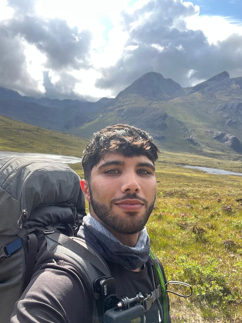
I’m a geospatial student who loves all things nature, with a particular passion for learning, especially around remote sensing, and GIS. A hard worker and problem-solver by day, and an avid reader by night; always seeking to better understand our world through maps, books, and code.

About me

Here's a dabble of my main interests, skills, and education.

Interests

  • Remote sensing/earth observation
  • Geographical Information System
  • Spatial data analysis
  • Biogeography
  • Cartography
  • Python programming

Field of application

  • Wildfire ecology
  • Agriculture, including:
    water & food security
  • Climate change
  • Conservation
  • Disaster management

Work Experience

  • 01.12.2025 - Present
    Fraunhofer IEE, Germany.
    Master Thesis Student

  • 01.01.2025 - Present
    Planet Labs, Germany.
    Working Student: Image Quality Support Team

  • 01.07.2024 - 30.09.2024
    Dryad Networks, Germany.
    Internship: Range Testing of Early Detection Wildfire Sensors

  • 25.06.2021 - 20.08.2021
    Umhverfisstofnun, Iceland.
    Volunteer: International Conservation Programme (ICV)

Education

  • MSc Forest Information Technology- Hochschule für nachhaltige Entwicklung Eberswalde, Germany. On-going.

  • PGDip Data Science - London School of Business & Research, England. On-going.

  • BSc Wildlife Conservation and Ecology - Bournemouth University, England.
    Graduated June 2021, with First-class honours.

Certificates

  • Issued: August 2024
    Climate Change AI Summer School 2024 , Climate Change AI.

  • Issued: July 2024
    Earth Observation Remote Sensing Summer Workshop 2024 , European Space Agency.

  • Issued: March 2024
    Spatio-temporal drought assessment by leveraging the Google Earth Engine plateform , United Nations University.

  • Issued: January 2023
    EQF Level 6 Certificate - Geographical Information System (UNIGIS) , Paris Lodron Universität Salzburg.

Skills

  • Software

    ESRI's ArcGIS Desktop & Pro, QGIS, PostgreSQL, MySQL, eCognition, ESA's SNAP and Notepad++.

  • Geoinformatics

    Geospatial Data Processing (incl. geo-referencing, orthorectification, digitisation, vectoisation, radiometric normalisation, radiometric correction (DOS, Sen2Cor))
    Spatial & Temporal Analysis (incl. spatial analysis, time-series analysis, cartography, generalisation)
    Data Management & Modelling (incl. database management, data querying, model building, ESRI - feature manipulation engine (FME))

  • Programming

    Python (including PYQGIS),
    SQL,
    Javascript (GEE & HTML),
    R

  • Tools and Platforms

    Git, Linux (Ubuntu), Google Earth Engine, PostgreSQL, MySQL